Most Ugandan households lack electricity. To reach the national target of 10 million household connections by 2030, planners need accurate, affordable data on where people live and which energy sources are viable.
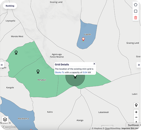
Sunbird’s Geospatial Energy Mapping Engine uses AI-powered satellite analysis to identify settlements suitable for solar mini-grids, assess renewable energy viability, and publish open data for infrastructure planners.
Developed with the Ministry of Energy and Mineral Development and GIZ’s Fair Forward initiative.